Mobility Atlas™
Knowing the city, optimising and making its operations more efficient is the primary objective for the growth and sustainability of large urban centres. The success of IoT applications and the growing spread of sensors, along with data analysis technologies and solutions, are helping develop the smart city paradigm.

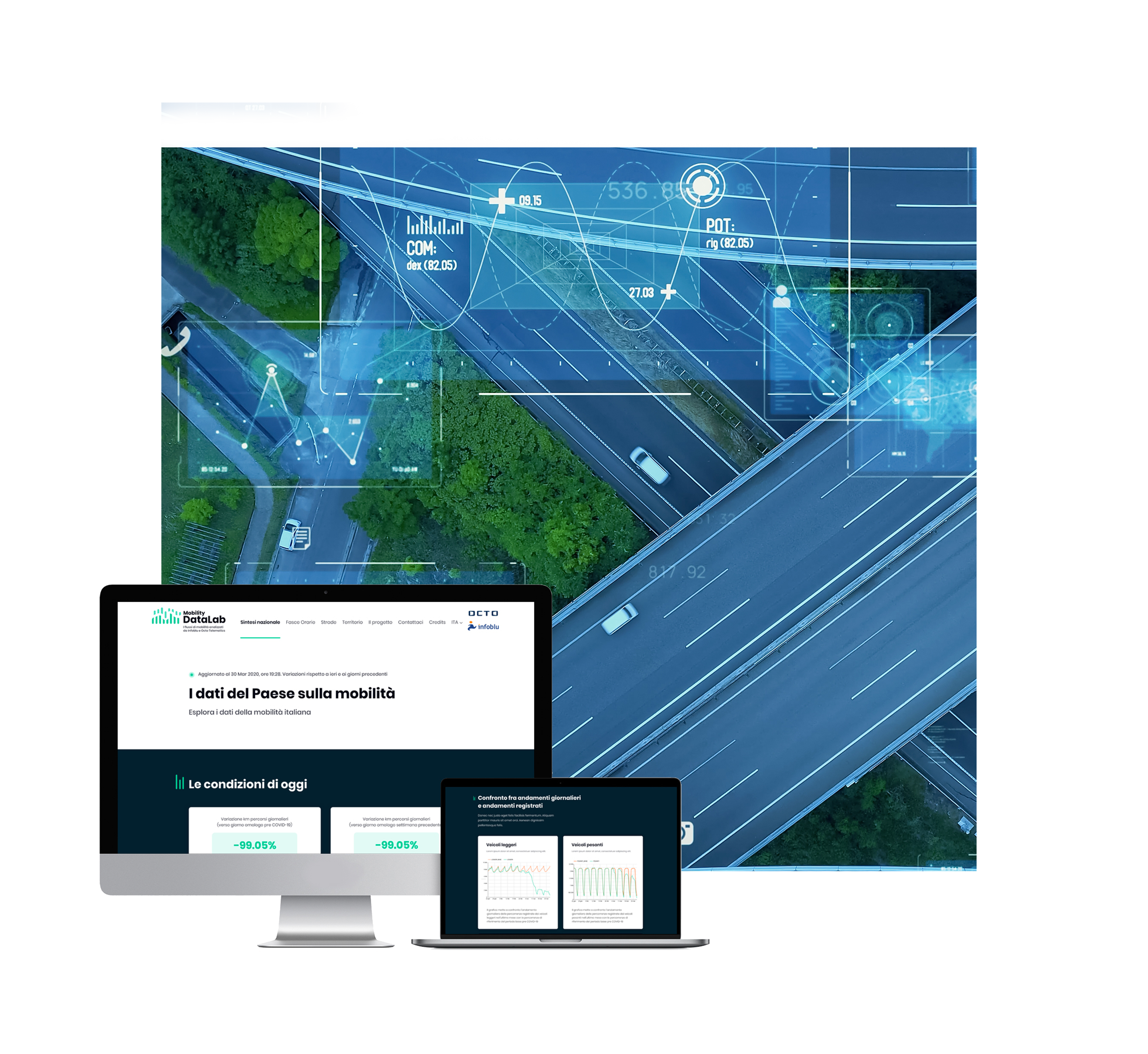
Mobility Data Lab
By using robust OCTO data assets all over Italy, the platform enables predefined aggregation and visual presentation of data with basic functionalities, to filter them dynamically.
This makes it possible to understand traffic flows and dynamics and improve road resilience, apply pollution reduction policies, understand vehicle density by hour/time zone, when needed, for better management of urban and regional areas. Customers can be given visual analysis to understand mobility trends in urban areas and on roads, and enable more informed decisions to reduce traffic and pollution, especially in a smarter city context.
One of the applications used during COVID enabled a comparison of pre and post pandemic traffic to understand the correlation of mobility and the various mobility models.
Risk Cartography
Municipalities and Public Entities are encouraged by acquisition of useful data-driven information to improve road safety.
Thanks to external cartographic data, OCTO can reveal information that creates new safety and planning opportunities for Municipalities and Public Entities, for example improving road maintenance.

Origin/Destination Matrix
Analysing mobility flows inside a certain geographical area in a specific period of time provides useful information for Smart City development strategies and for planning actions to benefit the areas analysed.
Analysing origin and destination flows is a useful tool for the study of people’s movements and collective mobility habits within a specific geographical area; respecting all the anonymisation and privacy techniques and enabling creation of innovative urban planning policies, for decisions on where to place attraction areas for the city or to review public transport programs.
This model identifies – through statistical, descriptive and visual presentations – roads with higher traffic flows and the relative time distribution, thus supporting:

Public transport
through targeted planning

Reduction in traffic
offering the visibility of alternative routes

Safety
with planned management to divert flows in events or emergency situations

Use of electric vehicles
by managing recharging points
Mobility Potential estimation
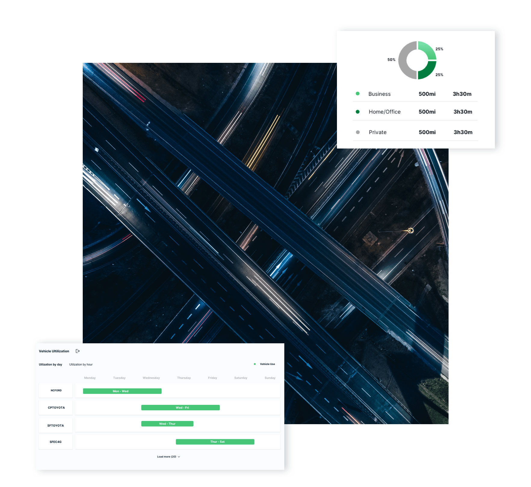
Analysing and using Big Data to study phenomena linked to mobility is not only important for developing smart cities; it is so to study relations between city development and the evolution of mobility phenomena.
Car rental companies, ride-sharing, public administrations, utilities want to analyse mobility dynamics: understanding how and when a person moves is fundamental for understanding where and when certain services can be supplied.
Thanks to the tools available and the quantity of data measured and analysed, OCTO can offer a representative view of mobility phenomena to help plan city activities based on real, objective data.
Who benefits from analysing traffic flows:

Geomarketing companies
To plan and organise advertising messages
Rental and car sharing companies
To open rental/car-sharing stations

Utilities
To identify possible recharging points
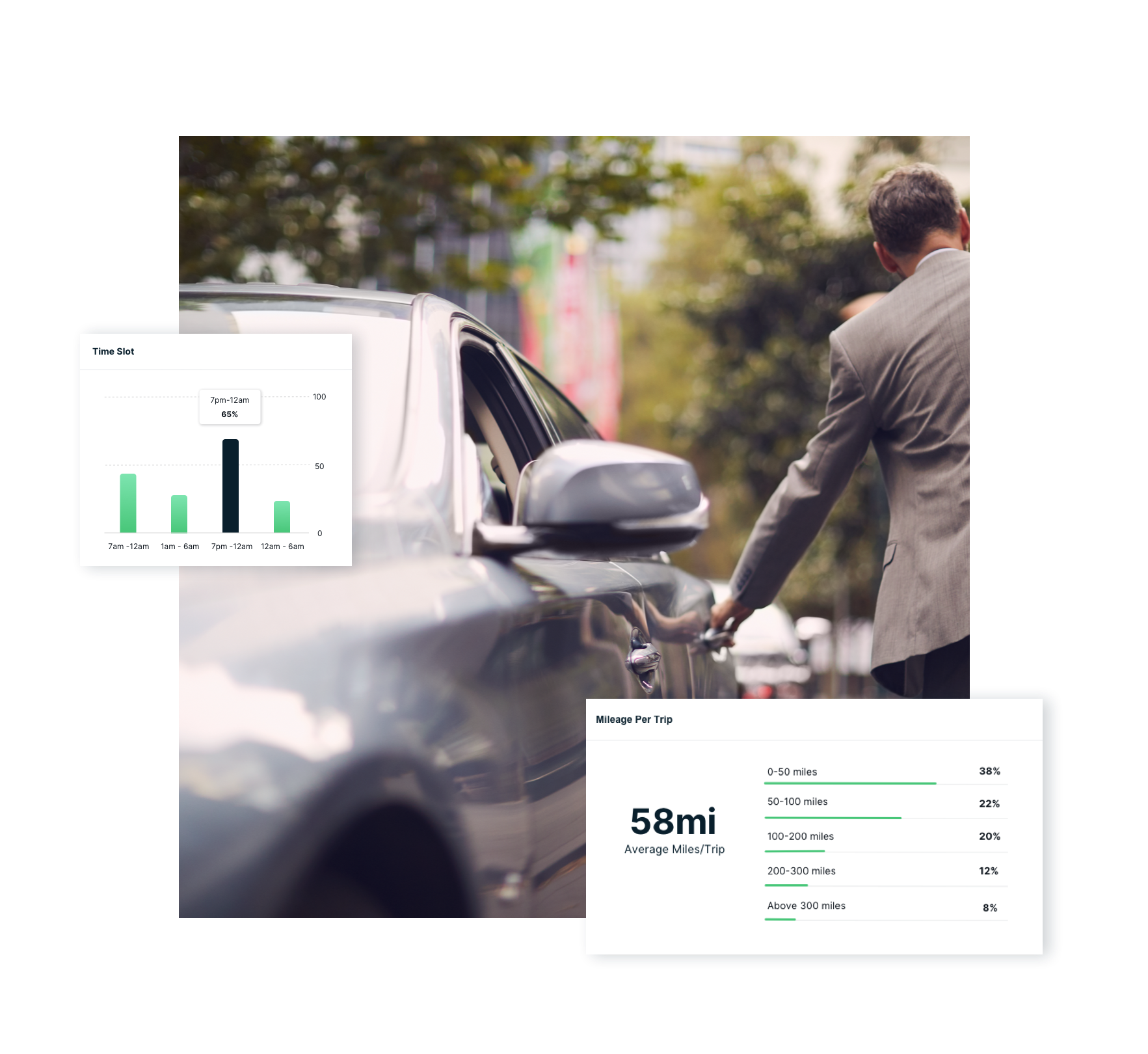
Electrifiable Mobility Profiling
To implement a plan for the move to electric vehicles, cities need the right information to understand how the spread of these vehicles will impact on the current mobility model. Recharging times, battery duration and power, distances travelled are just some of the parameters to be considered when assessing how to reorganise mobility.
With is analysis model, OCTO provides a number of pre-calculated metrics referred to specific geographical areas that enable assessment of current mobility highlighting possible actions to support electric mobility, for example, the right place for recharging columns.

Infrastructure Planning
Analysing data means documenting vehicle mobility and defining traffic models to assess new public infrastructure investments, for example identifying new parking areas or reviewing the road system in specific areas.
So OCTO makes a tool available on web platform to analyse Smart City flows.

Request a Demo
Tell us a bit about yourself, and we’ll tell you a lot more about our solutions.
